About this service
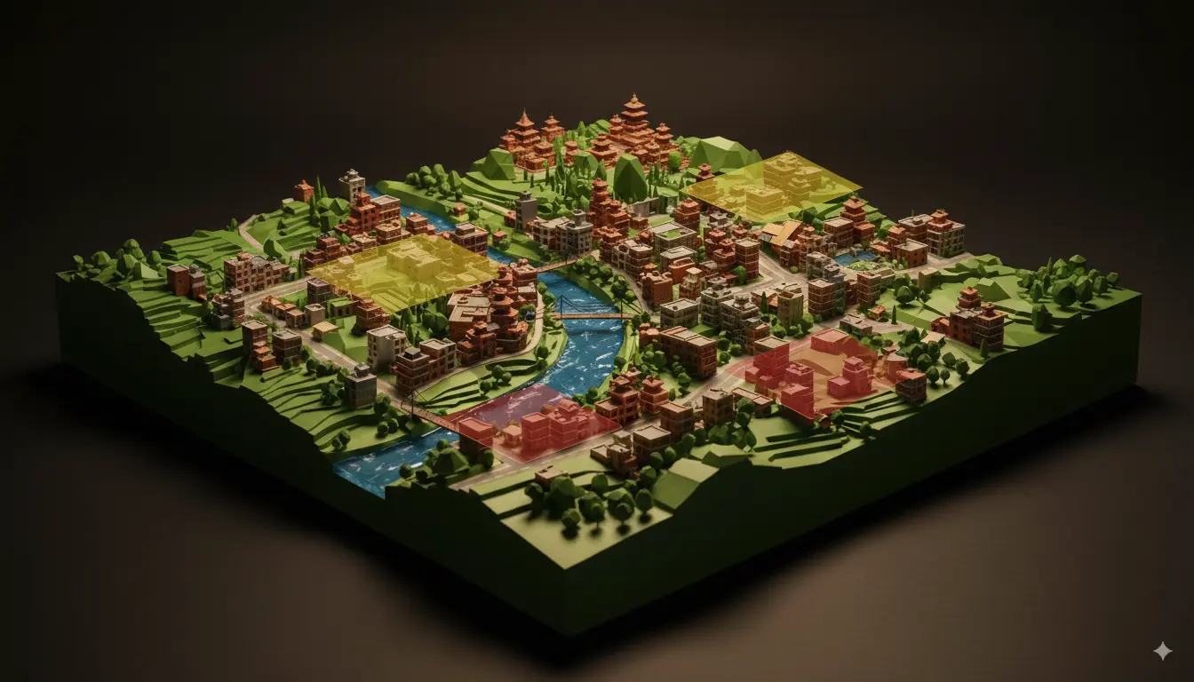
Develop 3D urban models for planning & zoning. Utilizing the Lixelkity K1 scanner along with advanced geospatial technologies, we capture street-level 3D details of buildings, roads, and public spaces. These ground-level scans integrate with aerial and GIS data to build comprehensive 3D urban models that support zoning, transportation planning, disaster resilience, and utility management.