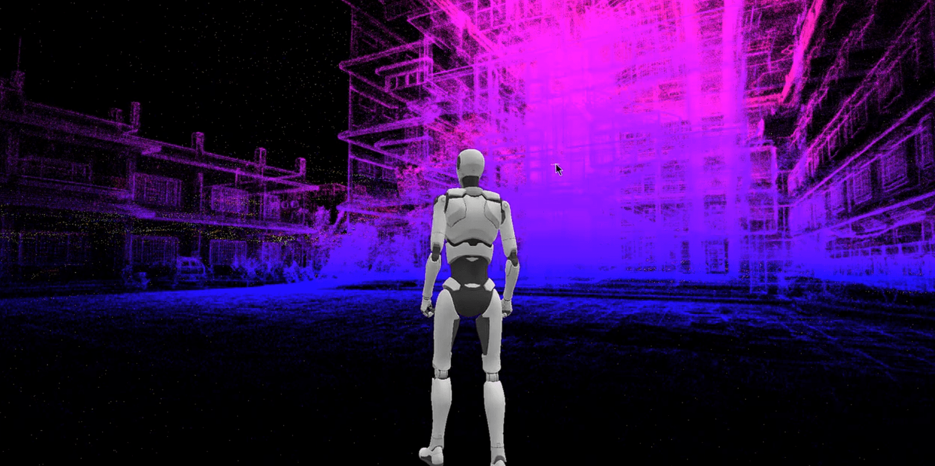
Reality, Reimagined in Every Pixel
Experience ultra-smooth, high-fidelity visuals powered by Gaussian Splatting—perfect for realistic simulations, virtual environments, and interactive design.
Explore 3D DomainsReality, Reimagined in Every Pixel
Experience ultra-smooth, high-fidelity visuals powered by Gaussian Splatting—perfect for realistic simulations, virtual environments, and interactive design.
Explore 3D DomainsPrecision-Driven Geospatial Solutions
Transform your projects with our cutting-edge expertise in 3D mapping, remote sensing, and geospatial analysis, driving precision and innovation across industries.
Architecture and Construction
Generate floor plans, elevations, and 3D models for precise design and construction
Civil Engineering and Surveying
Rapid surveys of challenging and hard-to-reach areas
Historical Preservation
3D documentation of monuments, temples, statue and archaeological sites
Trusted by Industry Leaders
Our focus on quality is reflected in the results we deliver.
Cutting-Edge 3D Technology
Discover our professional-grade 3D scanning devices and advanced processing software. Authorized XGrids partner delivering precision tools for modern geospatial teams.
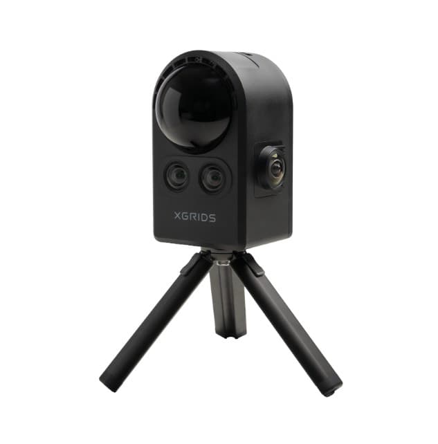
PortalCam
The First True Spatial Camera
- True 3D spatial models
- Fast capture with minimal setup
- Interior + Exterior coverage
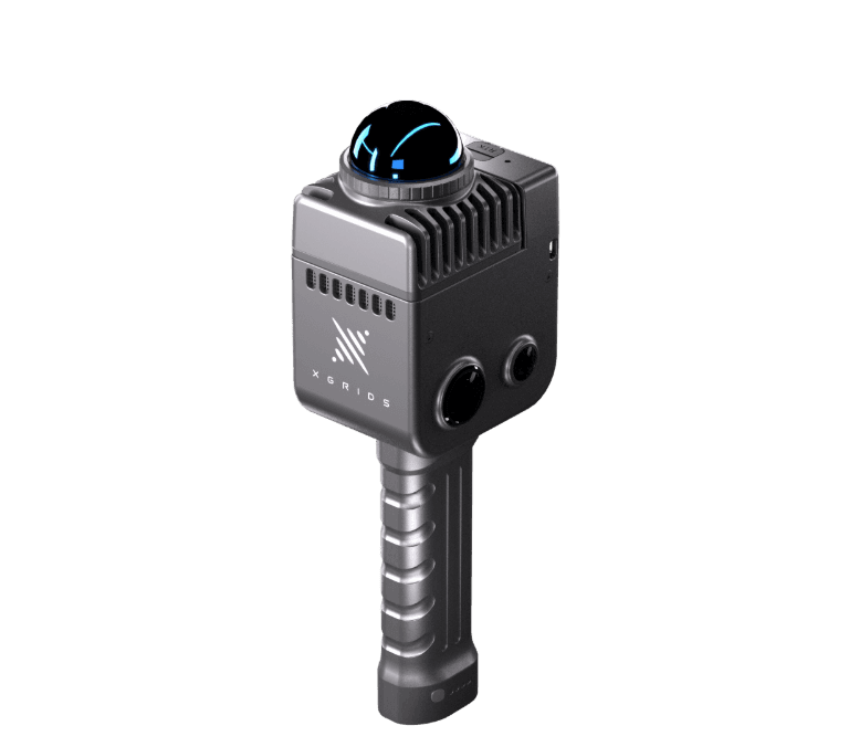
LixelKity K1
Compact handheld 3D scanning device with exceptional portability and ease of use.
- Ultra-portable design
- One-button operation
- Instant 3D capture
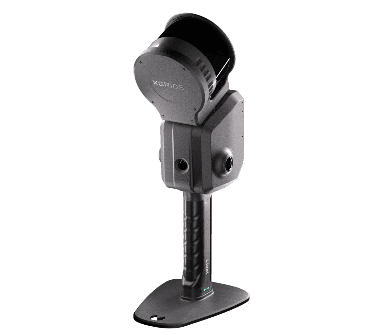
Lixel L2 Pro
Lixel L2 Pro
- Real-time 3D reconstruction
- High-precision SLAM technology
- Professional-grade accuracy
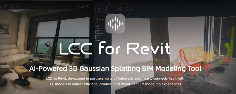
LCC for Revit
AI-powered 3D Gaussian Splatting BIM modeling tool integrated with Autodesk Revit.
- Revit integration
- BIM-ready models
- AI-powered modeling
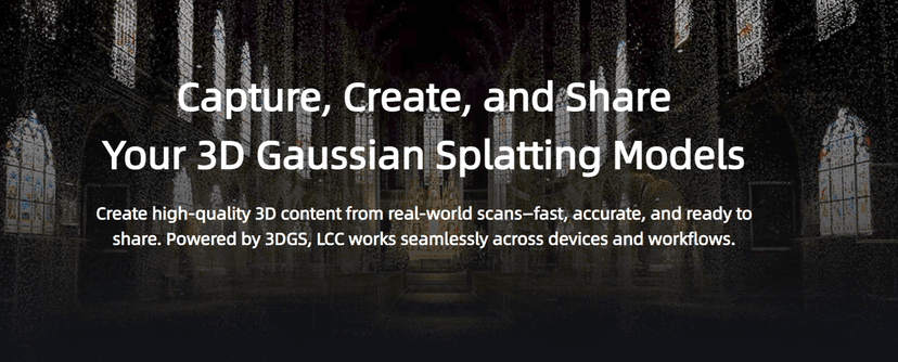
Lixel Cyber Color (LCC)
Revolutionary 3D content production powered by Multi-SLAM and 3D Gaussian Splatting technology.
- 3D Gaussian Splatting
- Multi-SLAM technology
- Photorealistic rendering
Lixel Studio
Comprehensive point cloud processing workstation for professional 3D scanning workflows.
- Advanced point cloud processing
- Real-time visualization
- Multi-format export
Why Choose Our Equipment?
Our partnership with XGrids brings you the latest in 3D scanning technology, backed by comprehensive support and training.
Professional Training
Get expert training on all our equipments
Why Choose GeoNova Solutions
We combine cutting-edge technology with unmatched expertise to deliver geospatial solutions that exceed expectations and drive project success.
Industry-Leading Accuracy
Our advanced technology and expert team deliver 99% accuracy in all geospatial measurements and modeling projects.
Fast Turnaround
Streamlined workflows and cutting-edge equipment ensure rapid project completion without compromising quality.
Expert Team
Our certified professionals bring decades of combined experience in geospatial technology and engineering.
Comprehensive Support
From initial consultation to project completion and beyond, we provide full-service support for all your needs.